
Mesopotamia
A library of the first cities, written in their own hand.
Mesopotamia starts from a simple rule: read the tablets themselves. The library holds 624 cuneiform tablets drawn from the CDLI archive, and only the ones that survive whole make the cut. Each tablet's photographed faces are wrapped onto a block of clay you can turn in your hand, and every translation is pressed into plain modern English, so a reader meets docks and grain wages rather than quays and rations.
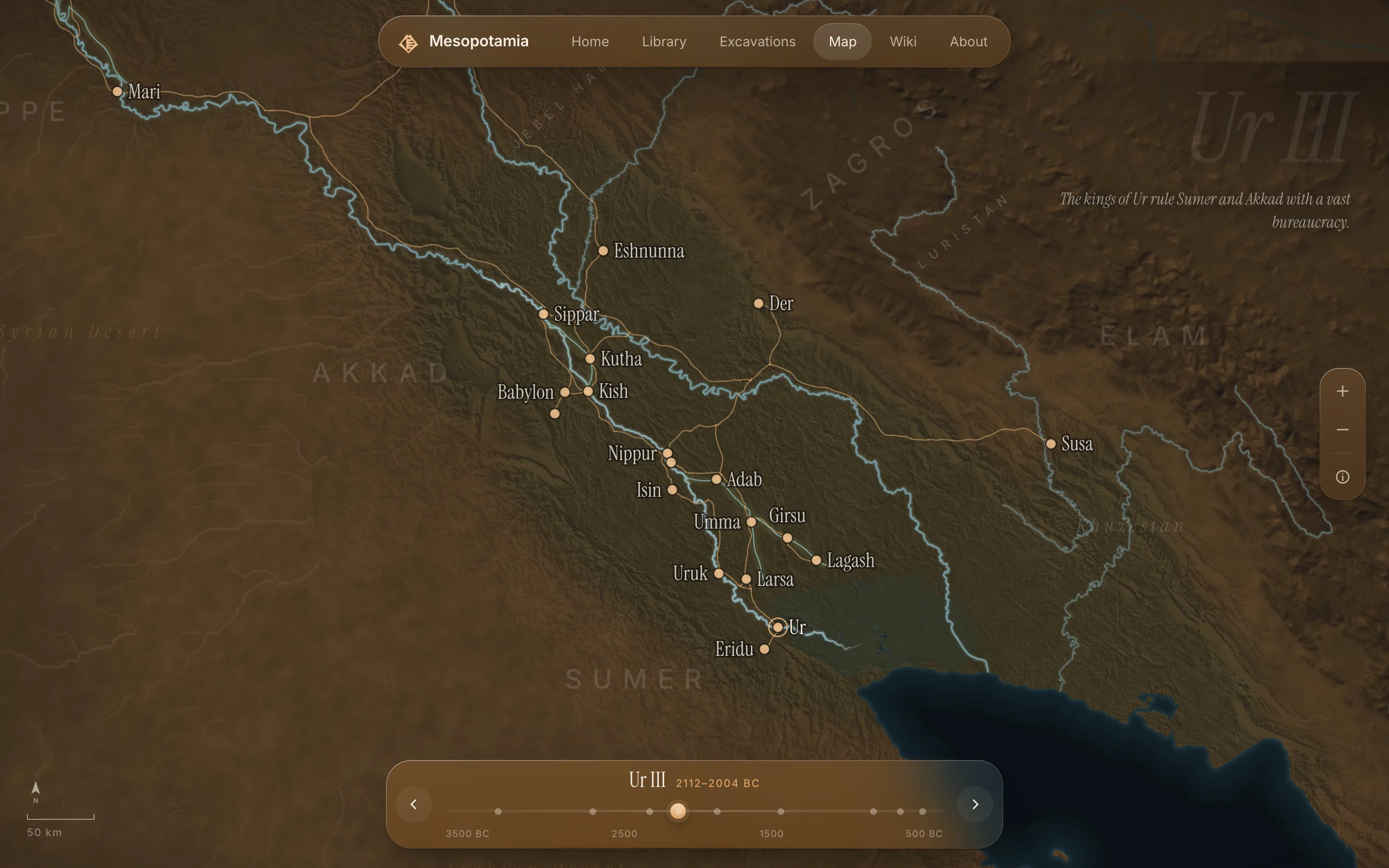
The map is drawn the same way. Nobody surveyed a Sumerian road, so the routes between 35 cities are computed as the easiest walk across the real terrain, era by era, using a hiker's rule for slope. The Gulf coastline is redrawn for each of nine periods with no modern outline to cheat from. The map also refuses to leave their world. You cannot zoom out past it, and the distant trading lands of Magan and Meluhha appear only as arrows pointing off the edge.
The build checks its own history. It fails if a city sits in the water or a clickable building has no article behind it. A study of Ur's harbour once found that the texts everyone cited came from a different city entirely, so they were taken out. Every visitor on a given day sees the same Tablet of the Day.