
Roman Maps
The empire on 11 August 117, mapped street by street.
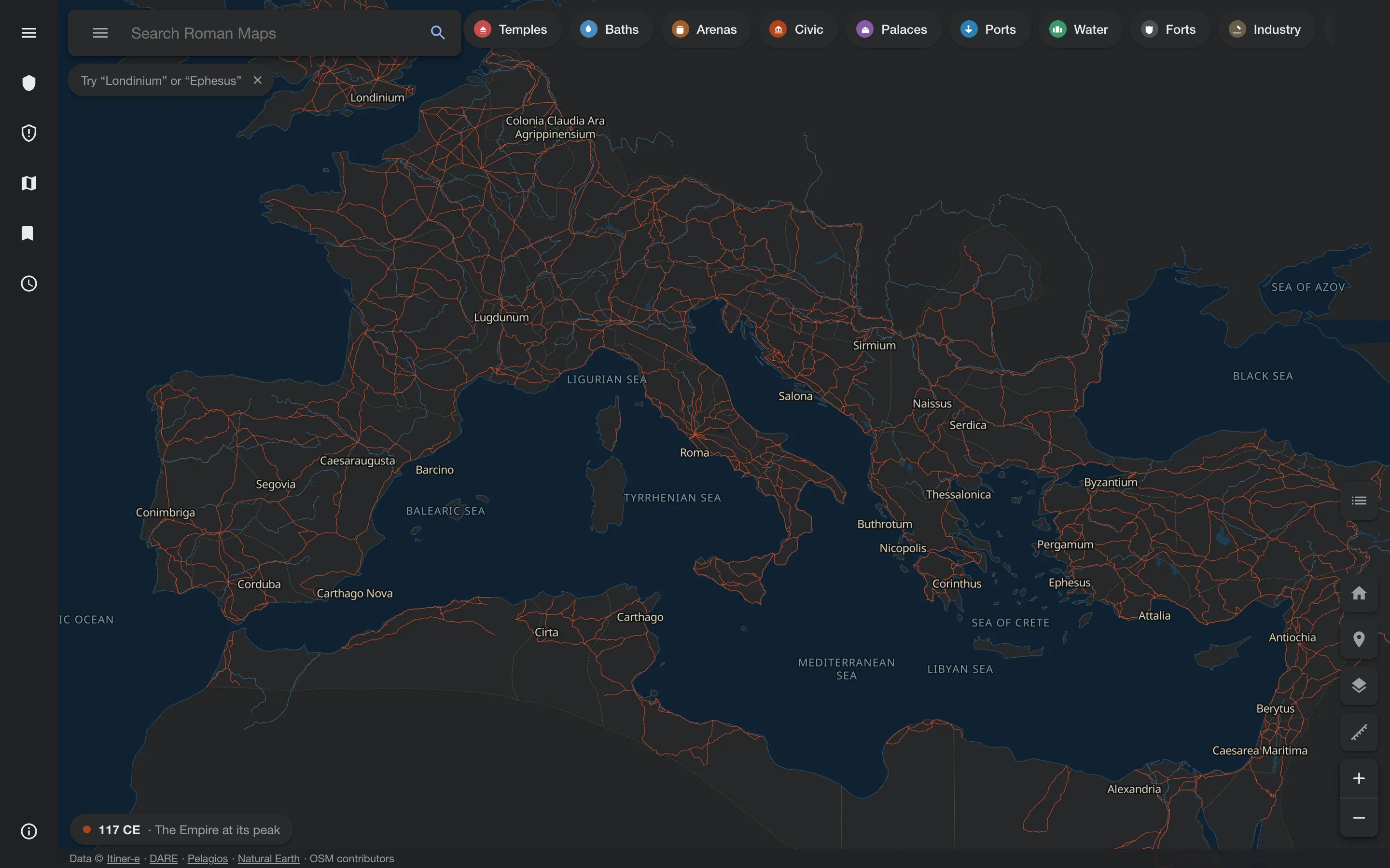
On 11 August 117 Hadrian was acclaimed emperor, and Rome held more of the world than it ever would again. Roman Maps stops the clock on that day and lets you wander. Roads, provinces, ports, mints, baths, arenas and temples spread across three continents, and in the best documented cities the map drops all the way down to individual buildings, each with its own note.
There are 1,101 curated places on file and more than forty archaeological sites. Beneath the empire sit substrate layers for the peoples Rome absorbed, from Celtic and Iberian towns to Punic ports and Mesopotamian cities. The atlas is kept by a small newsroom of scheduled shifts working from a shared board, under a fixed ratio: for every four tickets, one adds, two deepen and one polishes. A validator runs before every push, and only the evening publisher may deploy.
The first full audit turned up a useful embarrassment. The thinnest descriptions in the whole atlas belonged to the Parthenon, the Pantheon and the Colosseum, the places everyone assumed someone else had already written. They are among the longest now.